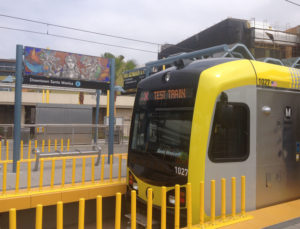
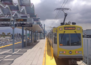
The Expo Line, that opened on June 20, 2012 from downtown LA to Culver City, now reaches all the way to Santa Monica. The May 20-21, 2016 celebrations attracted so many visitors that it was standing room only on the trains. I was unable to attend on those days, so I went the following Sunday morning, May 29. It’s too far to walk from my home and no buses run on Robertson Blvd on weekends, so I drove my car to the Expo station. The large outdoor parking lot between Venice and Washington Blvd was empty, while on weekdays it’s usually full.

There has been some concern that not all stations have parking, and there is no free Metro lot at the end of the line, near 4th and Colorado. You would have to pay $14 a day to park at the mall. But what Expo riders are encouraged to do is walk, bicycle or take the bus from their home to the station (not Lyft or Uber). To this end Metro organized a pedestrian event in Santa Monica Sunday June 5, to get people accustomed to the idea. Colorado Blvd is now one-way going toward the beach, in the other direction there’s a bicycle lane that runs from Ocean Blvd to the Expo station. The sidewalk has been widened to lead visitors to the pier and to Tongva Park.
I had visited this park, named after the Gabrielino Tongva tribe that inhabited this area, when it first opened in October 2013; but now the trees, shrubs and flowers have grown and filled in the landscaping. Terraces overlook the ocean. The children’s playground has slides and a rock climbing wall for toddlers. So it’s a very pleasant public space.

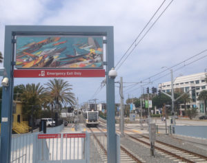
On the way back I stopped at 26th St/Bergamot station to photograph some of the colorful signs that decorate many of the Expo Line stations. I am familiar with this Metro line because I take it now to avoid traffic if I want to go downtown, and to save on parking fees when attending events at USC, my alma mater. It’s the best way for me to visit the Natural History Museum, only a few stops from the La Cienega/Jefferson station, that has a 4 story covered parking structure.

The Expo Line trains stop at traffic lights, at certain intersections such as Lincoln and Colorado, while in other places street traffic has to stop at gated train crossings. This feature not only makes the ride slow, but it’s likely to cause accidents. However this is common for light-rails systems that run at street level; and the Expo Line runs along the old tracks of the Pacific Electric Air Line, that operated from 1908 to 1953. The Los Angeles Railway “Yellow Cars” provided local service from 1901 to 1963, while the “Red Cars” connected Los Angeles to Glendale, Newport Beach, Riverside, San Bernardino, from 1901 to 1961 (see video of the last ride to Long Beach). This streetcars system of public transportation was slowly dismantled, replaced by buses riding on the newly built Los Angeles freeways.
During the past 25 years the trend was reversed, with the Metro Blue Line (1990) running from Downtown LA to Long Beach, the Red Line (1993-2000) from Downtown LA to North Hollywood, the Purple Line (2006) from downtown to Wilshire/Koreatown, The Gold Line (2003) from East Los Angeles to Pasadena. And now the Expo Line (2012-2016) from Downtown LA to Santa Monica.
See map of the Expo Line.
Read a fun post on The Source blog for more information
Top image: Photograph by Sammy Lyon-May 20, 2016.
